Cartes 1.0.0: detailed maps of your town, ready to print
Cartes 1.0.0 is out: sebprunier.github.io/cartes.
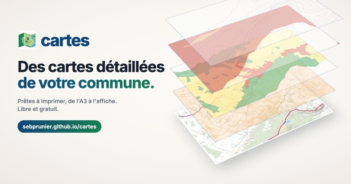
I am both a developer and a town councillor (in Colombiers, in the Vienne department of France: 1,400 inhabitants). Cartes was born where those two worlds meet.
- As a councillor, we were missing a map of the town detailed enough to read every street, with our own data (collection points, risk areas…), and printable in large format for the town hall.
- As a developer, I knew everything already existed as open data. What was missing was a tool to put it together simply.
What Cartes does
For any French municipality, Cartes produces a print-ready map, from A4 to A0:
- the map or aerial photographs from IGN, covering the exact territory of the municipality;
- public layers to overlay: land registry, local zoning plan (PLU), risks from BRGM (Géorisques), clay shrink-swell…;
- the municipality’s own data, as GeoJSON, CSV, or from a simple list of addresses;
- the sources and the date of the data, written on the map as the licences require.
No account, nothing to install: a web page is all you need. A desktop application (Windows, macOS, Linux), a command line and an API round it off. Free, open source, and the municipality’s files stay on your computer.
None of this would be possible without open public data: thanks to IGN (the French national institute of geographic and forest information), BRGM and data.gouv.fr (DINUM).
I need you
Try it on your municipality, and tell me what works, what gets stuck, what is missing. A layer you would find useful, a map that doesn’t come out as expected, a use I haven’t thought of: all feedback is welcome! By message, or directly on GitHub.
Councillors, municipal staff, town hall secretaries: the tool is made for you. Feel free to pass it on.